original scan loading from repositoryMap of both Lusatias
Hübner / Homann
Source: Wikimedia Commons / źródło pierwotne opisane w karcie pliku
Licence: Public domain
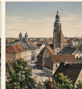
Lower Lusatia is a historical region shaped at the meeting point of cultures, languages and states. For centuries people, rivers, trade and changing borders formed its character; today its regional memory survives on both sides of the Lusatian Neisse.
Places. People. Memory. Landscape.

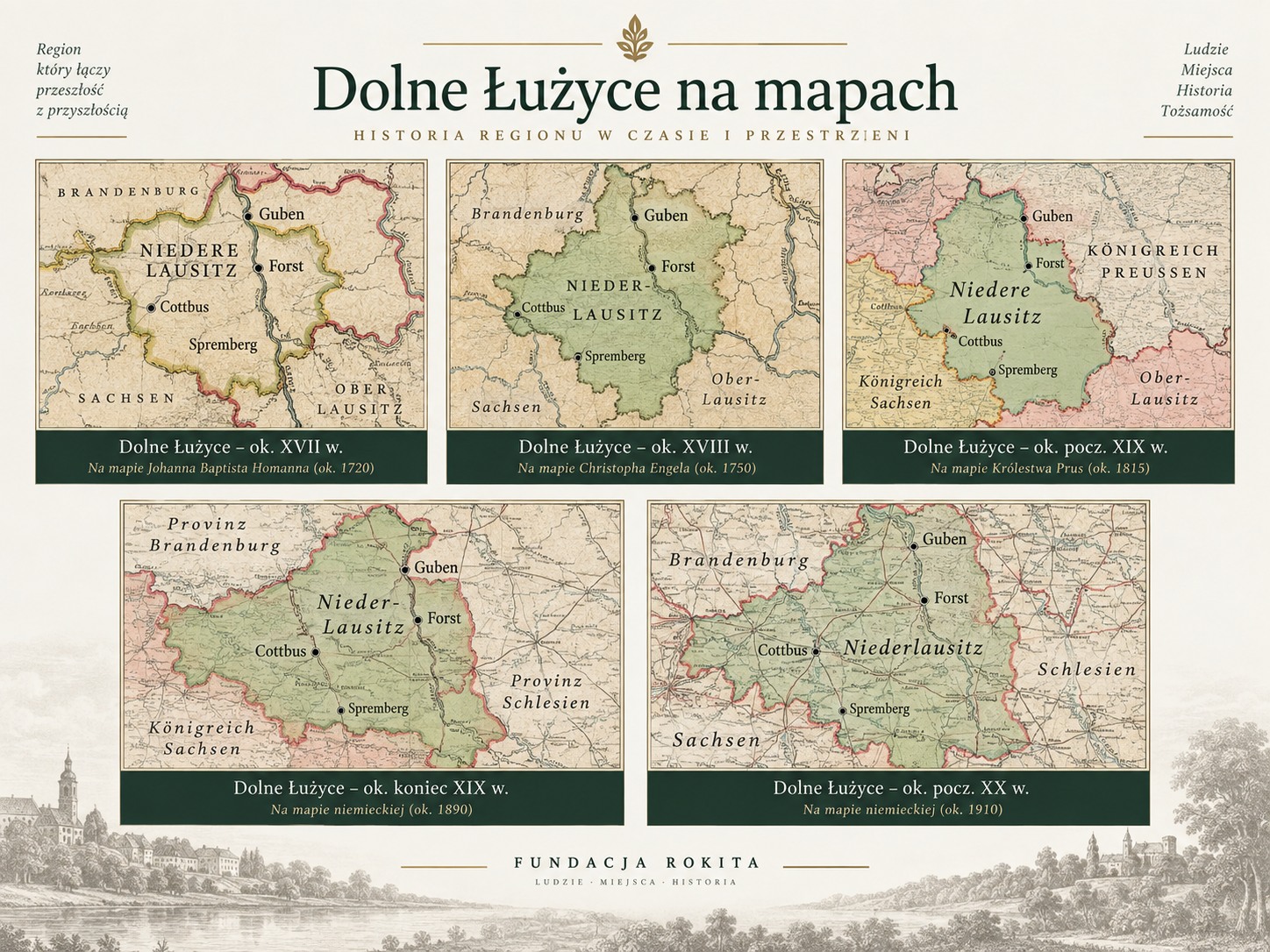
FIVE CARTOGRAPHIC VIEWS OF THE REGION
The overview page presents five historical regional maps. Whenever possible the verified source scan is loaded; a local visual fallback is shown only if the external repository is temporarily unavailable.
original scan loading from repositoryHübner / Homann
Source: Wikimedia Commons / źródło pierwotne opisane w karcie pliku
Licence: Public domain
original scan loading from repositoryPetrus Schenk
Source: Wikimedia Commons / źródło pierwotne opisane w karcie pliku
Licence: CC BY-SA 3.0 DE
original scan loading from repositoryF. J. J. von Reilly
Source: Wikimedia Commons / źródło pierwotne opisane w karcie pliku
Licence: Public domain / PD-Art
original scan loading from repositoryArnošt Muka
Source: Wikimedia Commons / źródło pierwotne opisane w karcie pliku
Licence: Public domain
original scan loading from repositoryKreis Sorau
Source: Wikimedia Commons / źródło pierwotne opisane w karcie pliku
Licence: Public domain
Changing rulers, administrations and border situations create a layered regional history.
Location, language, towns, economy, maps and the most important turning points in one concise overview.
Stories about rivers, forests, stones and nocturnal beings reveal older ways of reading the landscape.
THEMATIC ESSAYS, VISUALS AND STORIES

From a medieval borderland to modern administrations and frontiers.
Read more →
Language, traditions, place names and the living heritage of Lower Lusatia.
Read more →
Rivers, forests, villages, industry and mining reshape the region.
Read more →
Night Hunter, wandering lights, water beings, dragons and local tradition.
Read more →
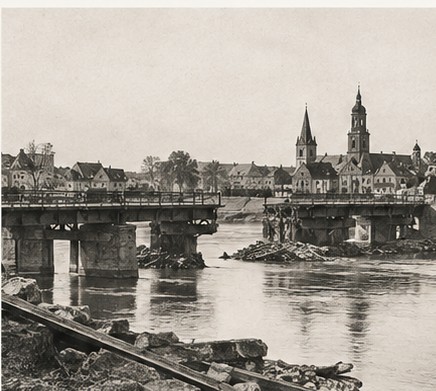
A new Neisse border, displacement, rebuilding and divided towns.
Read more →
Ten visual views: towns, landscapes, people and transformation.
Read more →Lower Lusatia is not a separate administrative unit today. It is a historical region whose borders changed over centuries. We therefore do not present any modern line as an eternal regional boundary.
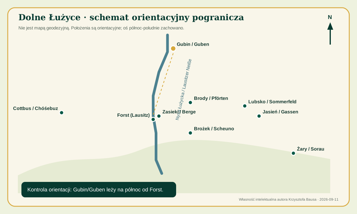
The story centres on the Spree and Lusatian Neisse, Sorbian/Wendish heritage, the margraviate, Saxon and Prussian periods, industrialisation and the post-1945 border. This framework connects Forst, Zasieki/Berge, Brożek/Scheuno, Brody/Pförten, Lubsko/Sommerfeld, Jasień/Gassen, Sorau/Żary and Guben/Gubin.

For the eastern part, Forst, Guben/Gubin, Brody/Pförten, Lubsko/Sommerfeld, Sorau/Żary and many smaller places of the former Sorau district are especially important. The orientation scheme correctly places Guben/Gubin north of Forst.
Research in regional maps and folklore collections, including Karl Gander 1894 and Edmund Veckenstedt 1880.
Full-text indexes were checked for Niederlausitz, Guben, Forst, Pförten, Sorau and Wenden; only verifiable material is incorporated.
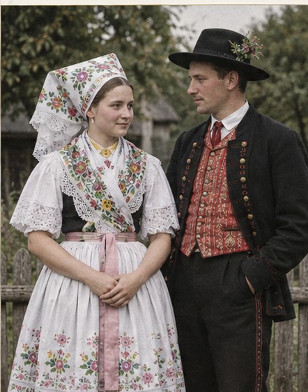
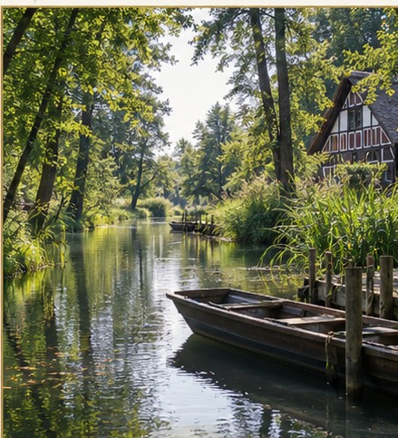
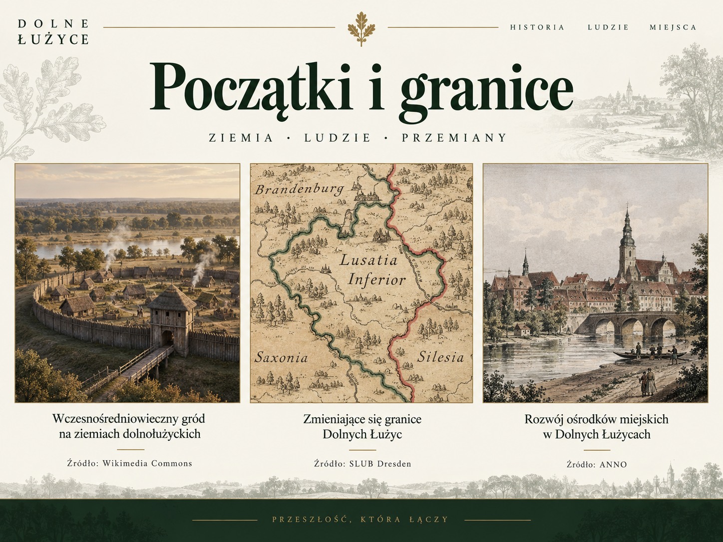
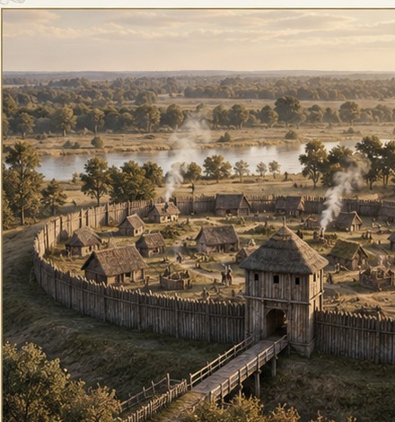
The thematic visuals are modern editorial works prepared for Fundacja Rokita and serve an illustrative purpose; they are not reproductions of specific archival photographs.